
News Channel 12 Story
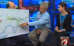
Volunteers from the Wasson Way project appeared on “Local 12 Newsmakers” on Sunday May 12 Project Founder Jay Andress and Marketing Chair Anne Oudersluys discussed the trail map, the value of the Wasson Way to the community, and how the trail would be constructed.
Watch the video clip here